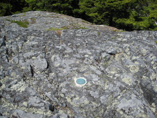
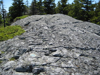
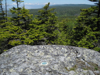
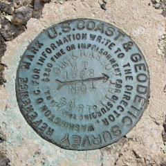
DUCK HARBOR MOUNTAIN RM 1

Recovered in Good Condition on June 21, 2008

Spatial/elevation data

Coordinates N 44.023167° W 68.6492°
Elevation Unknown
Location Maine
   Knox County
      Isle au Haut West Quad

Mark description

Type Reference Mark Disk
Setting Bedrock
Monumented 1934 by NGS
Google Map View Full Map
A report on the condition of this survey mark has been submitted to NGS, along with the following recovery note:

The station and both reference marks were recovered in good condition. The marks are located on Duck Harbor Mountain in Acadia National Park. The station was reached via the Duck Harbor Mountain Trail.

Handheld GPS WAAS-corrected coordinates for RM 1 are 44 01 23.4(N) 068 38 57.1(W). Handheld GPS WAAS-corrected coordinates for RM 2 are 44 01 23.3(N) 068 38 57.4(W).

Narrative and photographs

For more information about this reference mark, see its parent mark DUCK HARBOR MOUNTAIN.
Leave a reply