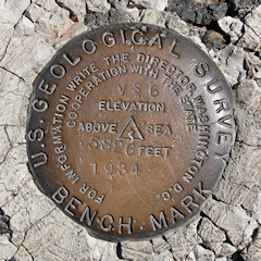
VS 6
Spatial/elevation data
| Coordinates | N 35.084316° W 109.788266° |
| Elevation | 5825.946 ft. |
| Location | Arizona
Apache County Kachina Point Quad |
Mark description
| Type | Bench Mark Disk |
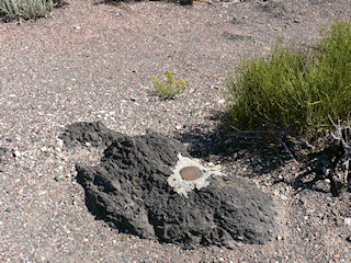
| Setting | Rock Outcrop |
| Monumented | 1934 by USGS |
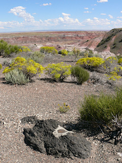
| Description (USGS) | (4/4/1972) From the toll gate at Petrified Forest N.P. Headquarters go N. on park road 1.5 Mi. to Kachina Point, walk 100 yds. along “Lookout Point” trail. BM is 50 ft. S. of end of trail at lookout point and 5 ft. E. of trail in black lava rock outcropping. A standard tablet stamped VS 6 1934 5826 |
Narrative and photographs
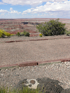
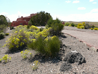
We happened to spot this USGS benchmark disk while walking out to the Kachina Point Overlook in Petrified Forest National Park. It is set into an outcropping just a few feet east of the walkway. The disk and outcropping are in good condition. I always enjoy finding these old USGS marks, and this one is in a particularly beautiful spot near the old Painted Desert Inn.
