USNPS (Unstamped, Acadia #2)
Spatial/elevation data
| Coordinates | N 44.37115° W 68.2107° |
| Elevation | Unknown |
| Location | Maine
Hancock County Seal Harbor Quad |
Mark description
| Type | Boundary Monument |
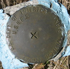
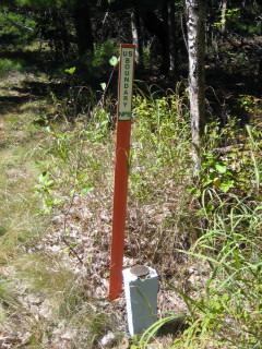
| Setting | Square Concrete Monument |
| Monumented | Unknown by National Park Service |
| Description (National Park Service) | Unavailable. |
Narrative and photographs
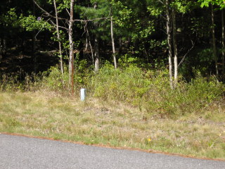
Just as we were finishing up our hike on the Great Meadow Loop, we came across this boundary marker. Like others we’ve found in this area, it is not stamped with any designation or date. The disk and monument appear to be in good condition.


