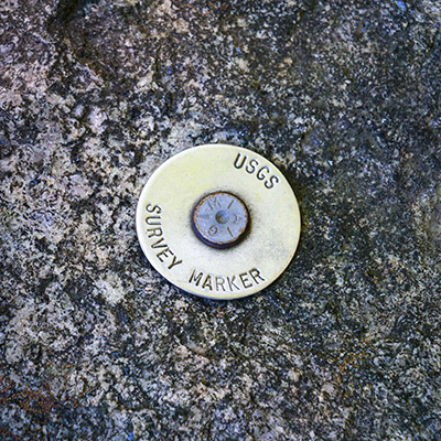
USGS (Unstamped, Acadia #1)
Spatial/elevation data
| Coordinates | N 44.36218° W 68.206064° |
| Elevation | Unknown |
| Location | Maine
Hancock County Seal Harbor Quad |
Mark description
| Type | Mag Nail with Washer |
| Setting | Granite Foundation |
| Monumented | Unknown by USGS |
| Description (USGS) | Unavailable |
Narrative and photographs
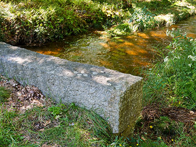
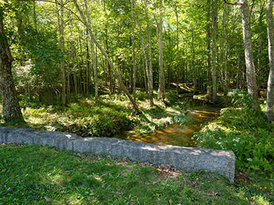
While at Sieur de Monts this morning, I poked around in the woods, attempting to locate the hidden Sweet Waters of Acadia stone that had apparently gone missing since the last time we found it (I confirmed that it was, in fact, gone from that spot as my friend had indicated). Wisely avoiding the multitude of ticks that probably lurk in the tall grasses of these open woods, Rich meanwhile poked around the Sweet Waters Circle, looking for photographic compositions. I’m not sure if he found any, but he did spot this USGS survey marker on a granite headwall of a culvert over Cromwell Brook! It is a simple mag nail with a washer, but it is stamped (no date, unfortunately). We suspect it hasn’t been here for very long (if it had been, we probably would have noticed it before).


