LOGGERHEAD KEY LH
Spatial/elevation data
| Coordinates | N 24.633356° W 82.920523° |
| Elevation | Unknown |
| Location | Florida
Monroe County Dry Tortugas Quad |
Mark description
| Type | Landmark/Intersection Station |
| Setting | Lighthouse |
| Monumented | 1875 by NGS |
| Description (NGS) | NGS Datasheet |
NGS recovery information
Descriptive text
Recovered in good condition.Narrative and photographs
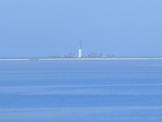
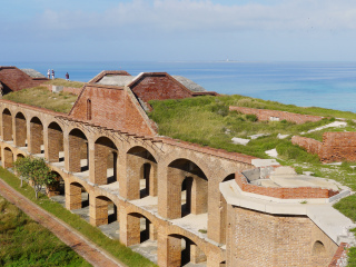
The lighthouse is visible from Garden Key, although it’s tricky to spot and even trickier to photograph due to the haze from the persistent humid conditions here. The best view we found was from atop the northwest wall of Fort Jefferson. Although obviously we didn’t visit Loggerhead Key to view the lighthouse up close, it is apparent from afar that the lighthouse, with its half-black/half-white paint job, matches the description in the 1938 recovery note.
The Dry Tortugas Light, as it is officially known, was first illuminated in 1858. The 1873 hurricane that destroyed the original Garden Key lighthouse inflicted severe damage on Loggerhead’s light as well, but unlike Garden Key’s light (which was destroyed and replaced with a shorter light atop the fort), Loggerhead’s stayed in place with some major reinforcement of the top of the tower. The Dry Tortugas Light is still an active aid to navigation and is now owned by the National Park Service, although the Coast Guard maintains the operation of the light itself.

