TT 46 T
Spatial/elevation data
| Coordinates | N 41.498889° W 75.64177° (estimate) |
| Elevation | 1473.094 ft. |
| Location | Pennsylvania
Lackawanna County Scranton Quad |
Mark description
| Type | Bench Mark Disk |
| Setting | Concrete Post |
| Monumented | 1932 by USGS |
| Description (USGS) | Justus, in SW. part of; 14 ft N. and 46 ft W. from T-rd. NW., leading to Griffin Reservoir; in concrete post; standard tablet stamped “TT 46 T 1932” |
Narrative and photographs
I’ve been curious about this mark for a few years, but for some reason we had never scouted it out until this morning. It seemed unlikely that we would be able to find any evidence of it given the amount of vegetation in the area, but it’s always possible—consider TT 4 T, which was somehow clear and prominent even though it was surrounded by decades worth of fallen leaf litter! In order to give ourselves the best chance (outside of using a metal detector, which we don’t yet have) we figured we’d better make our attempt at this time of year, when the ice and snow are gone but the vegetation hasn’t yet started to grow.
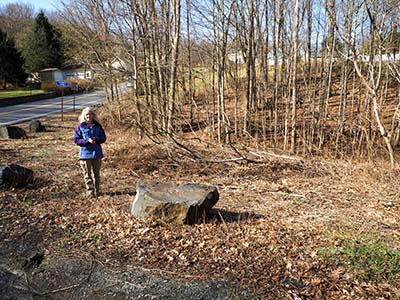
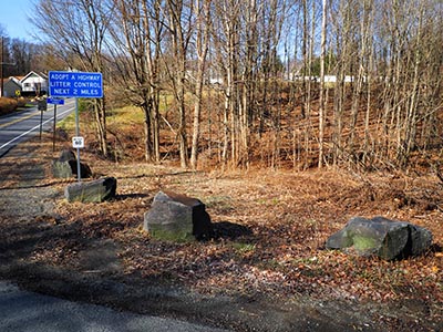
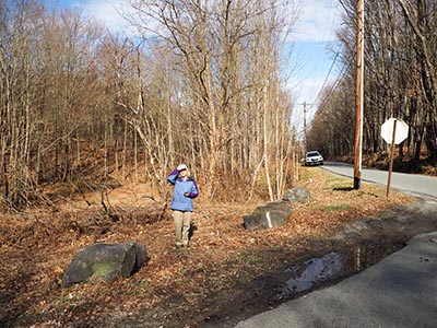
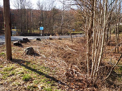
Unfortunately, we had no luck at this location today. We checked the entire corner west of the intersection of Ackerly Road and Layton Road without finding any sign of the mark or monument. I have no doubt that it could easily be concealed beneath the many layers of vegetation that have built up over the years, so a metal detector is our only hope.
We had somewhat higher hopes for the reference mark, a chiseled square carved into the stone wall of a bridge/culvert about 125 feet south of the corner. The stone wall that currently exists is an obvious place for such a reference mark, and we have very little doubt that it could date from the early 1930s. But there is no chiseled square that we could find anywhere on the wall. There are some carvings on the top of the middle stone that fooled us briefly; I was mainly thinking that the chiseled square had been there and someone had later incorporated it into a carving of their initials, but this didn’t seem to be the case. Nothing formed the shape of a square. So we are pretty confused about what happened here. Is the wall not actually the same one that was here when the mark was set? Could the chiseled mark have been worn away? Or the top stone replaced?
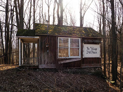
One interesting find we made this morning was of an abandoned “shack” at the opposite corner from where the mark should have been. It had a sign “The Village Doll House” and gave off creepy vibes. We later learned that it was a shop selling dollhouse miniatures back in the 1980s and 1990s.
| Designation | Status | Condition | Image |
|---|---|---|---|
| TT 46 T RM | Not Found | Unknown (Not Found) |

|

