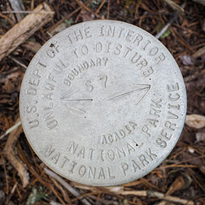
S 7
Spatial/elevation data
| Coordinates | N 44.299373° W 68.339243° |
| Elevation | Unknown |
| Location | Maine
Hancock County Southwest Harbor Quad |
Mark description
| Type | Boundary Monument |
| Setting | Pipe Cap |
| Monumented | Unknown by National Park Service |
Narrative and photographs
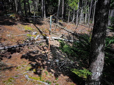
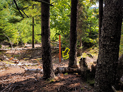
After a hike on Beech Mountain that included an old road and the Valley Trail, we were hiking back to the car along Lurvey Spring Road when we came across two Acadia boundary markers just meters apart from one another. S 7 was the first one we found, and to its east is S6D. They are both in good condition.


