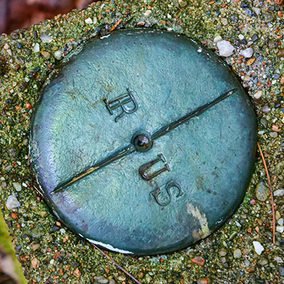
R/US
Spatial/elevation data
| Coordinates | N 44.306908° W 68.245482° |
| Elevation | Unknown |
| Location | Maine
Hancock County Seal Harbor Quad |
Mark description
| Type | Boundary Monument |
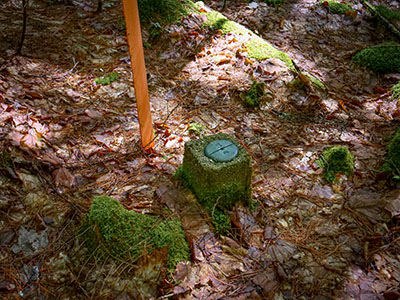
| Setting | Concrete Post |
| Monumented | Unknown by Unknown Agency |
Narrative and photographs
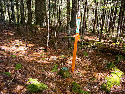
This was the second of four boundary markers designated R/US that we found today while hiking the Seaside Path from Seal Harbor to Jordan Pond House. Like most of the others, this is in good condition and well marked with a bright orange NPS witness post.


