PNC-01
Spatial/elevation data
| Coordinates | N 24.5504° W 81.8004° |
| Elevation | Unknown |
| Location | Florida
Monroe County Key West Quad |
Mark description
| Type | Survey Mark |
| Setting | Concrete Sidewalk |
| Monumented | Unknown by Florida DOT |
Narrative and photographs
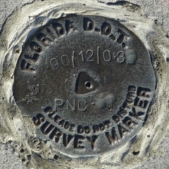
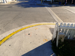
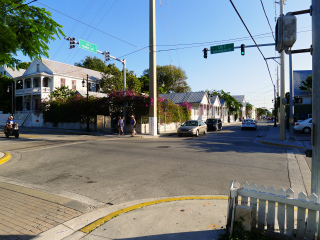
We didn’t know about this disk ahead of time, but we found it set into the sidewalk at the southwest corner of the intersection of Truman Avenue and Whitehead Street, just south (across Truman Ave.) from the Key West lighthouse (on whose fence we found U 267-AA0018). There is no date stamped on the disk, but we’ve deduced that it was set sometime between March 2011 (when it was not there, according to Google Street View) and February 2014, when we found it.
Update (15 October 2020): I no longer see the benchmark in the sidewalk on the Street View as of July 2018.


