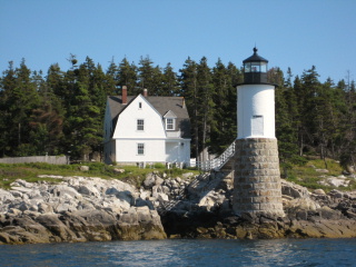
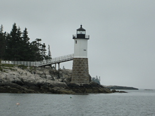
ISLE AU HAUT LIGHTHOUSE
Spatial/elevation data
| Coordinates | N 44.064733° W 68.651383° |
| Elevation | Unknown |
| Location | Maine
Knox County Isle au Haut West Quad |
Mark description
| Type | Landmark/Intersection Station |
| Setting | Lighthouse |
| Monumented | 1934 by NGS |
| Description (NGS) | NGS Datasheet |
NGS recovery information
Descriptive text
Recovered in good condition.Narrative and photographs
As most lighthouses are, this was a very easy find and a beautiful sight. We first spotted and photographed it in the morning, as we rode the mail boat to Isle au Haut for a day of hiking. At that time, it was a typical gray, misty Maine morning. By the time of our return trip in the afternoon, the sky was completely clear and blue and the lighthouse looked radiant in the sunshine.

