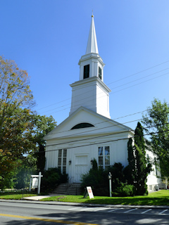
BLUE HILL CONG CHURCH SPIRE
Spatial/elevation data
| Coordinates | N 44.411379° W 68.591571° |
| Elevation | Unknown |
| Location | Maine
Hancock County Blue Hill Quad |
Mark description
| Type | Landmark/Intersection Station |
| Setting | Church Spire |
| Monumented | 1863 by NGS |
| Description (NGS) | NGS Datasheet |
NGS recovery information
Descriptive text
Recovered in good condition.Narrative and photographs
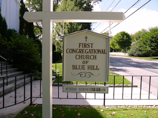
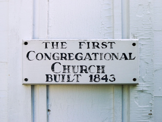
After our hike at Blue Hill Mountain and on our way to El El Frijoles for lunch, we passed this church and decided to stop and take a few photos. It wasn’t a high priority mark, but we were passing right by. The church spire appears to be in very good condition. This is still the Blue Hill Congregational Church and, according to a sign next to the doors, was built in 1843. So I’m quite sure this is the same spire that was first observed in 1863.
My father was confused about why I was taking photos of a church. Once we explained that it was a landmark station, it made more sense to him—or at least I think it did.


