BROWN MOUNTAIN
Note Entered on September 14, 2013
Previous recovery (June
18, 2006)
Spatial/elevation data
| Coordinates | N 44.3243° W 68.296533° |
| Elevation | 853 ft. |
| Location | Maine
Hancock County Southwest Harbor Quad |
Mark description
| Type | Copper Bolt |
| Setting | Bedrock |
| Monumented | 1870 by NGS |
| Description (NGS) | NGS Datasheet |
Narrative and photographs
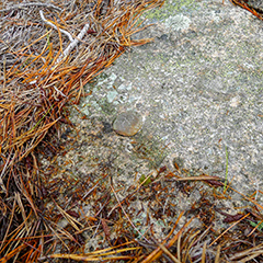
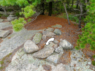
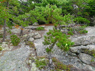
Today Rich and I took the (new) Goat Trail to the summit of Norumbega Mountain, formerly known as Brown Mountain. We spent some time relaxing at the summit, and then decided to check on the BROWN MOUNTAIN triangulation station to ensure that the marks are still in good condition. The station mark (a copper bolt) and both reference mark disks are in good condition, just as they were when we found them in 2006. We took the Hadlock Ponds trail back to the parking area.
| Designation | Status | Condition | Image |
|---|---|---|---|
| BROWN MOUNTAIN RM 1 | Note Entered | Good |
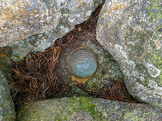
|
| BROWN MOUNTAIN RM 2 | Note Entered | Good |
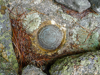
|
