SAVAGE MOUNTAIN 1870
Spatial/elevation data
| Coordinates | N 44.302733° W 68.274333° |
| Elevation | 440 ft. |
| Location | Maine
Hancock County Southwest Harbor Quad |
Mark description
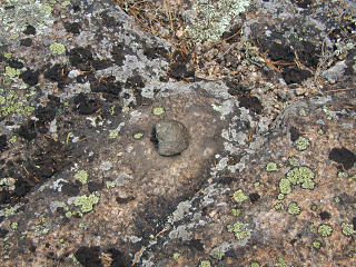
| Type | Copper Bolt |
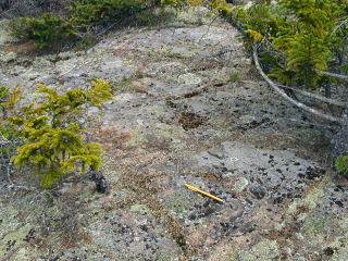
| Setting | Bedrock |
| Monumented | 1870 by NGS |
| Description (NGS) | NGS Datasheet |
NGS recovery information
Descriptive text
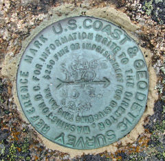
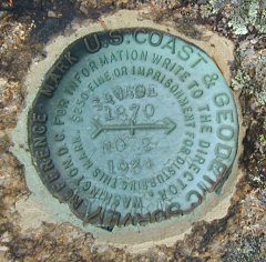
The station mark and reference marks 1 and 2 were recovered in good condition. This mountain is now known as Eliot Mountain.Narrative and photographs
This was my first benchmark find on a day that went very quickly from 90° and sunny (while we were hiking on Bar Island) to about 45°, dark and misty (while we were eating our lobster lunch at Beal’s). Fortunately for us, the weather was still sunny and hot when we reached Eliot Mountain. After exploring Thuya Garden and finding the Eliot Mountain geocache, Rich and I took a moment to search for and recover this set of marks (Aaron poked around elsewhere, or maybe he took a nap?!). This 135-year-old bolt was easy to find, and appears to be in good condition. There is some possible damage to one edge, but the bolt seems very solid in the bedrock. Both reference marks were found easily and in good condition as well.
| Designation | Status | Condition | Image |
|---|---|---|---|
| SAVAGE MOUNTAIN RM 1 | Recovered | Good |

|
| SAVAGE MOUNTAIN RM 2 | Recovered | Good |

|

