SOMESVILLE CHURCH SPIRE
Spatial/elevation data
| Coordinates | N 44.360367° W 68.33585° |
| Elevation | Unknown |
| Location | Maine
Hancock County Southwest Harbor Quad |
Mark description
| Type | Landmark/Intersection Station |
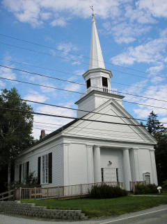
| Setting | Church Spire |
| Monumented | Unknown by Unknown Agency |
| Description (NGS) | NGS Datasheet |
NGS recovery information
Descriptive text
Recovered in good condition.Narrative and photographs
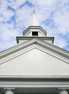
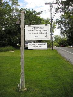
This was a lovely late-Spring day that began chilly and foggy but turned sunny, dry and warm by noon. After our hike to ROBINSON MOUNTAIN (this feature is now known as Acadia Mountain) and an afternoon of lazing around in the sun at Ike’s Point on Echo Lake, Rich and I passed by this church in Somesville and had to stop for some photographs. We wouldn’t go out of our way for a station like this, but we couldn’t pass it up while in the area. The church is pretty and seems well cared for. The spire was found as described.


