RICHARDS 1865
Spatial/elevation data
| Coordinates | N 44.439966° W 68.315183° |
| Elevation | 161 ft. |
| Location | Maine
Hancock County Salsbury Cove Quad |
Mark description
| Type | Copper Bolt |
| Setting | Rock Outcrop |
| Monumented | 1865 by NGS |
| Description (NGS) | NGS Datasheet |
NGS recovery information
Descriptive text
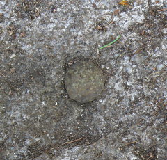
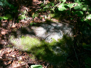
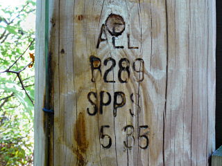
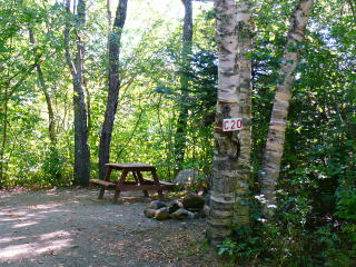
Station recovered in good condition. It is located on the property of Hadley’s Point Campground. To reach the station from the junction of Route 1a and Route 3 in Ellsworth, drive south on Route 3 approximately 9.5 miles, crossing the bridge onto Mount Desert Island. At the traffic light continue (bear left) on Route 3 for 3 miles to Hadley’s Point Road. Turn left onto Hadley’s Point Road and travel 0.2 miles to the campground on the right. Follow signs to Campsite C-20. Station is a copper bolt set in a 30-inch by 30-inch by 24-inch triangular outcrop, which projects approximately 7 inches above the surface of the ground. It is about 25 feet at 202 degrees magnetic from the approximate center of Campsite C-20, and 27 feet at 40 degrees magnetic from power pole AEL B289 SPPS 5 35.Narrative and photographs
This has to be one of our most exciting and intriguing finds yet! This station was considered Lost in 1934, when a racetrack was built at the site—in fact, the recovery note from that year sounds quite definitive when it states that “the station has been destroyed.” The next recovery note, though, from 1944, gives some hope: STATION WAS SEARCHED FOR BUT NOT FOUND. AS THERE ARE MANY ROCKS IN THIS VICINITY, THERE IS A POSSIBILITY THAT THE STATION IS STILL THERE.
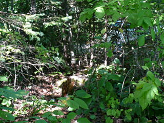
This was more than enough to entice us to search for the mark ourselves on the last day of our trip, as we headed out of town. And believe it or not, the adjusted coordinates took us directly to the station mark! The rock outcrop in which the bolt is set was covered with moss, and the entire area is overgrown and difficult to maneuver in, but overall, it was a relatively easy find at Campground C-20! We couldn’t get over how cool it was that a mark set almost 150 years ago using the technology of the time was lost over the decades and then only found again by using the GPS technology of today. It’s a real testament to how accurate those original coordinates were (and subsequent maintenance adjustments have been)!
