GREAT HEAD OBSERVATORY
Spatial/elevation data
| Coordinates | N 44.328466° W 68.174583° |
| Elevation | 33 ft. |
| Location | Maine
Hancock County Seal Harbor Quad |
Mark description
| Type | Landmark/Intersection Station |
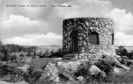
| Setting | Stone Building |
| Monumented | 1934 by NGS |
| Description (NGS) | NGS Datasheet |
NGS recovery information
Descriptive text
Recovered in destroyed condition.Narrative and photographs
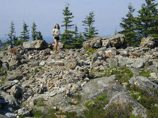
Our first day in Acadia was lovely, sunny and hot. Immediately after arriving and getting settled, Rich took us on an afternoon hike to Great Head, a most scenic spot to begin our vacation. This tower is quite obviously destroyed, but the ruins are still in place and I had fun climbing around and exploring them, and playing on the beach down below afterward.
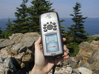
Photos of the rubble at the exact coordinates given for this station were submitted to NGS, which has marked this station officially Destroyed in the database.


