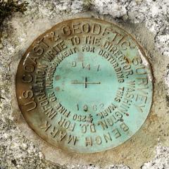
D 147
Recovered in Good Condition on September 4, 2014
Previous attempt (September
5, 2013)
Spatial/elevation data
| Coordinates | N 44.464916° W 68.828416° |
| Elevation | 71.99 ft. |
| Location | Maine
Waldo County Castine Quad |
Mark description
| Type | Bench Mark Disk |
| Setting | Boulder |
| Monumented | 1962 by NGS |
| Description (NGS) | NGS Datasheet |
NGS recovery information
Descriptive text
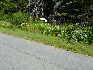
Recovered in good condition. The road is called Lighthouse Road and is now paved. Handheld GPS coordinates for the mark are 44 27 53.7(N) 068 49 42.3(W).Narrative and photographs
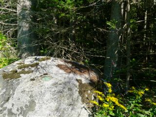
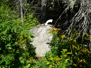
We returned to Fort Point State Park on a much warmer and drier morning than we experienced here last year. This time, without a foot of water in the ditch (and no poison ivy to wade through—we checked) we were able to access the boulder quite easily (thanks, Rich, for making a path through the weeds for me!).
We confirmed what we had suspected last year: that the disk is indeed D 147. It is in very good condition atop the 6’x3’ boulder just north of Lighthouse Road, as described. We saw pink flagging tape tied to a tree branch nearby, so it’s likely that a local surveyor has used the mark within the last year. The tape is visible in the eyelevel photo.


