Q 145
Spatial/elevation data
| Coordinates | N 44.35539° W 68.35277° |
| Elevation | 72.65 ft. |
| Location | Maine
Hancock County Southwest Harbor Quad |
Mark description
| Type | Bench Mark Disk |
| Setting | Boulder |
| Monumented | 1962 by NGS |
| Description (NGS) | NGS Datasheet |
Narrative and photographs
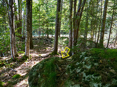
Not quite ready to call it a day after a delicious lunch at Red Sky’s popup, we tried for the third time to find the benchmark along Pretty Marsh Road—Q 145—that has eluded us in the past. Over the past year, we had checked the datasheet again and found that a local surveyor had found it and updated the coordinates. Finally! We realized that we had been looking in the wrong spot the whole time. We were just one property or so to the east, but that made all the difference. We were probably also confused by the huge boulder we found at that location, somehow convinced the mark had to be on it somewhere, when it wasn’t.
Today, with the corrected coordinates in hand, we pulled off into a driveway and Rich stayed in the car in case someone came by. I headed into the small patch of woods toward the coordinates. The large boulder was obvious, but what was not obvious was where the mark was! I couldn’t believe it, but I walked around the boulder at least 5 times without seeing anything. A dog was barking at the adjacent house, which also made me anxious (fortunately no one came to investigate, and dog stopped barking after a few minutes).
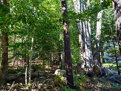
I reread the description and saw that it said the mark was set in a “shoulder” of the boulder about 1.5 feet lower than the top, so I started clearing off an area that matched that description. I scraped off almost an inch of debris (pine needles and dried mud) to finally find the mark! It was so well buried I was actually surprised to find it where I did. I took my photos, including a few from the road showing the nearby powerpole and flagging tape, and we moved on.


