K 16
Spatial/elevation data
| Coordinates | N 44.314805° W 68.404722° |
| Elevation | 76.14 ft. |
| Location | Maine
Hancock County Bartlett Island Quad |
Mark description
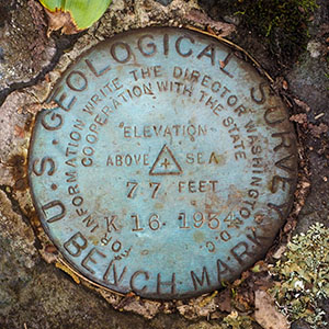
| Type | Bench Mark Disk |
| Setting | Rock Outcrop |
| Monumented | 1934 by USGS |
| Description (NGS) | NGS Datasheet |
NGS recovery information
Descriptive text
Recovered in good condition on the uphill one of two large boulders, as described in the 2018 report. Pole 116752 is still in place.Narrative and photographs
Rich and I were looking for another quick activity after our morning hike at the Great Notch Trail, just off the Long Pond Fire Road. Benchmark hunting is always on the table, and it just so happened that there is a mark just a tenth of a mile south of where the Long Pond Fire Road emerges to Route 102 via Hodgdon Road.
Because we were already pointed northeast where we parked for the hike and there wasn’t really enough room to turn around on the fire road, we ended up driving the entire fire road loop after our hike. So then we had just over a mile to drive south along Route 102 toward K 16.
Rich pulled over on the wide shoulder on the west side of Route 102, right at the mailbox for house #1549 - the house mentioned in the latest recovery note. I’m often hesitant to approach these houses, but I thought it was worth a try. Perhaps someone would be outside and I could ask permission to search, or maybe the mark wouldn’t even be anywhere close to the house, and I could search without being seen.
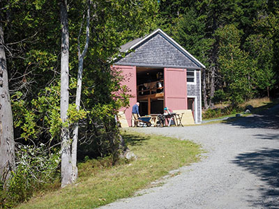
I walked up the driveway and saw a large barn that appeared to be in use as a wood shop. And I heard someone working inside; it sounded like they were using a table saw. After a few seconds a man appeared, and he didn’t notice me at first, but I eventually got his attention. I explained why I was there, and asked for permission to search for the benchmark. He said that this was his son’s property so he knew nothing about where the mark might be, but that I was welcome to look around. He wished me luck.
I told Rich that we were free to look around, but he preferred to stay with the car, which makes sense. Fortunately I found the mark quickly. I documented it with photos, and on my way out I showed the man my close-up photo of the disk and pointed out its location.
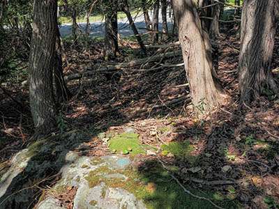
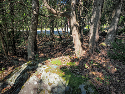
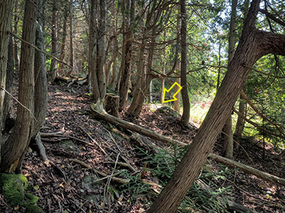
The disk is is very good condition on a solid rock outcrop. It doesn’t seem to be in much danger of becoming overgrown, but a witness sign would be helpful for others to locate it because the woods here are quite dense with vegetation and other rock outcrops.
After a miserable encounter with someone else on the island this morning that left me in a rough mood, it was a pleasure to have such an agreeable interaction with this kind man. Although I’m sure he will never see this, to the man working at #1549 Tremont Road that afternoon, thank you for making my day so much better!
