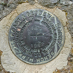
K 145
Spatial/elevation data
| Coordinates | N 44.29688° W 68.40273° |
| Elevation | 70.38 ft. |
| Location | Maine
Hancock County Bartlett Island Quad |
Mark description
| Type | Bench Mark Disk |
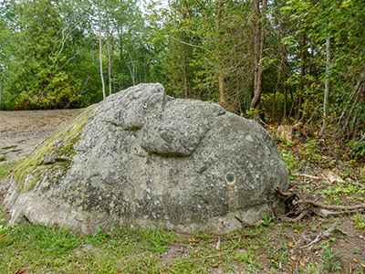
| Setting | Boulder |
| Monumented | 1962 by NGS |
| Description (NGS) | NGS Datasheet |
Narrative and photographs
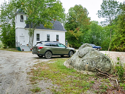
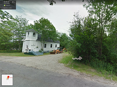
Finally, success! This was a morale booster after three failed hunts so far this afternoon. This one is about as easy a find as you can possibly get. Huge boulder, ample parking, and the mark is just as described. The lot has been cleared since the Google Street View image was taken in 2011, but there is no indication that the boulder was moved. The boulder, and possibly the disk, are visible in the formerly wooded area in the Street View image.


