TIDAL 5 STA 12
Spatial/elevation data
| Coordinates | N 44.2756785° W 68.3118438° |
| Elevation | 8.30 ft. |
| Location | Maine
Hancock County Southwest Harbor Quad |
Mark description
| Type | Drill Hole |
| Setting | Rock Outcrop |
| Monumented | Unknown by NGS |
| Description (NGS) | NGS Datasheet |
NGS recovery information
Descriptive text
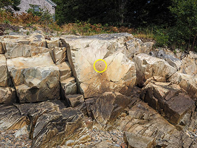
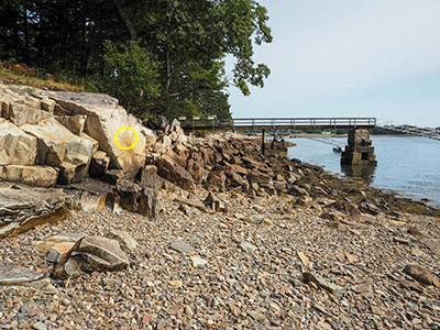
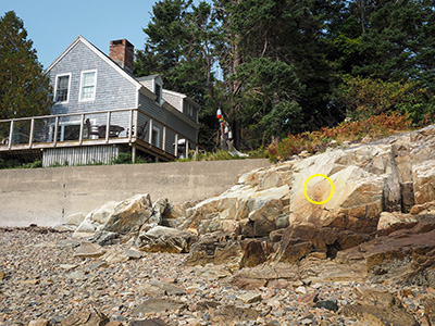
Recovered in good condition. The beach was accessed via the property at 8 Crows Nest as described in the 2018 recovery note. The 2018 description is adequate to recover the mark.Narrative and photographs
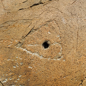
We had planned (and expected) to find nearby TIDAL 6 on this attempt, after reading the 2018 recovery from surveyor JRO. We’ve known about this series of marks forever, but always thought that we would have to access them via the Coast Guard property, which is likely a no-go. JRO accessed the area through a nearby residence, which is what we did today. We did not really expect to find this mark, TIDAL 5, which is a drill hole. Drill holes, in particular, can be notoriously difficult to locate and positively identify after decades of weathering and vegetation growth. But this one was in an obvious location on an obvious rock face, basically glinting in the sun and drawing my attention immediately as soon as I stepped down onto the rocky beach. I also really liked the carved triangle surrounding the drill hole, and the carved horizontal line that runs through it.


