K 12
Spatial/elevation data
| Coordinates | N 44.313798° W 68.333072° |
| Elevation | 193.49 ft. |
| Location | Maine
Hancock County Southwest Harbor Quad |
Mark description
| Type | Bench Mark Disk |
| Setting | Rock Outcrop |
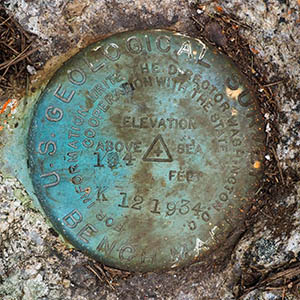
| Monumented | 1934 by USGS |
| Description (NGS) | NGS Datasheet |
NGS recovery information
Descriptive text
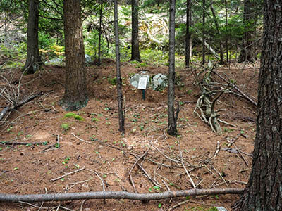
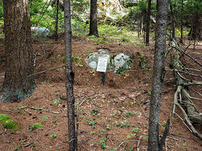
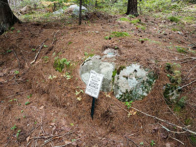
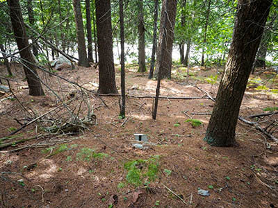
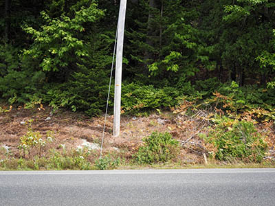
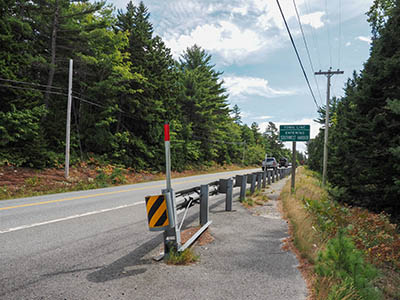
Recovered in good condition. The 2018 description is adequate. The witness post, town line sign, and utility pole #111 are still in place and can be used as references.Narrative and photographs
We really enjoy finding these old USGS bench mark disks. Somehow we had missed this one in the past (as in, we were simply unaware of it). In reading the description and recent recoveries, it sounded easy enough to find. Rich pulled the car over right in front of the Southwest Harbor Town Line sign. We immediately spotted utility pole #111, as mentioned in the description. I crossed the highway and plunged uphill into the woods - quite easy walking once you get past the thicket of weeds in the roadside ditch. Immediately I could see the witness sign placed by JRO in 2018 straight in front of me, about 70 feet or so. The disk was apparent on the ledge right behind the sign. It is in very good condition in a solid setting.
