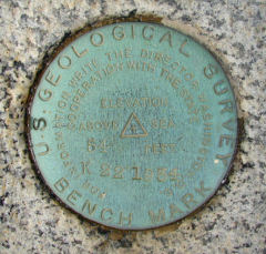
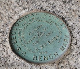
K 22
Spatial/elevation data
| Coordinates | N 44.3895° W 68.2071° |
| Elevation | 53.49 ft. |
| Location | Maine
Hancock County Bar Harbor Quad |
Mark description
| Type | Bench Mark Disk |
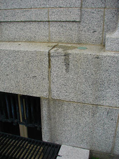
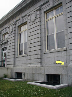
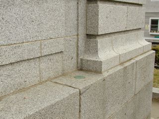
| Setting | Granite Foundation |
| Monumented | 1934 by USGS |
| Description (NGS) | NGS Datasheet |
Narrative and photographs
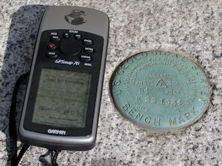
After a day spent golfing (Aaron) and getting caught in a thunderstorm (Rich and me), we met for dinner. On our way downtown for supper at Galyn’s, I couldn’t resist stopping to look for the benchmark at the post office. The disk is in good condition and very easy to spot.
(Recovered on September 9, 2002)
N 44° 23.369’ W 068° 12.423’
While vacationing on M.D.I. I decided to search for a few local benchmarks. This one, like many of the others I had hunted, was found during a very pleasant after-breakfast walk around town. The mark was relatively easy to find using the historical description. Near the station (it was not possible to pick up satellite signals right at the foundation of the building) my Garmin GPSmap76 receiver indicated approximately 0.13 miles from the posted coordinates. The disc is quite visible and is in excellent condition. ~Rich in NEPA~
