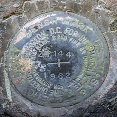
Z 144
Recovered in Good Condition on September 15, 2018
Previous attempt (June
25, 2006)
Spatial/elevation data
| Coordinates | N 44.369333° W 68.330611° |
| Elevation | 45.69 ft. |
| Location | Maine
Hancock County Southwest Harbor Quad |
Mark description
| Type | Bench Mark Disk |
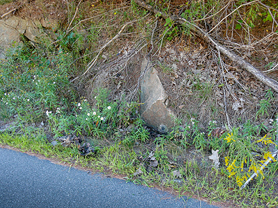
| Setting | Rock Outcrop |
| Monumented | 1962 by NGS |
| Description (NGS) | NGS Datasheet |
Narrative and photographs
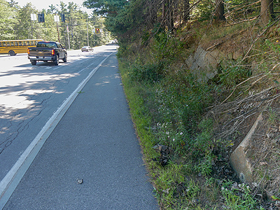
Rich and I first looked for this mark over 12 years ago, with no luck. With so much experience since then, new coordinates entered into the database by a surveyor, and the knowledge that the location of the marks shown on the topo maps is usually accurate, we decided to try again—a bit further north of our previous search spot. We found it easily! But it’s no wonder we didn’t notice it the first time, all those years ago. Not only were we looking in the wrong spot (too close to the intersection), but the mark is set so close to the ground that it quickly gets overgrown in the summer.
We cleared out some of the vegetation and took photos of the mark, with some difficulty. The disk is in good condition.


