NPS (Unstamped, Mesa Verde #1)
Spatial/elevation data
| Coordinates | N 37.241816° W 108.504133° |
| Elevation | Unknown |
| Location | Colorado
Montezuma County Weatherill Mesa Quad |
Mark description
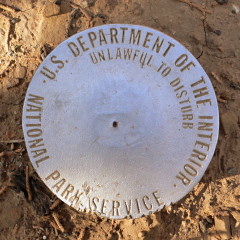
| Type | Unspecified Disk |
| Setting | Steel Rod |
| Monumented | Unknown by National Park Service |
| Description (National Park Service) | Unavailable. |
Narrative and photographs
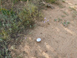
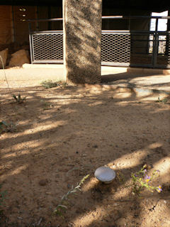
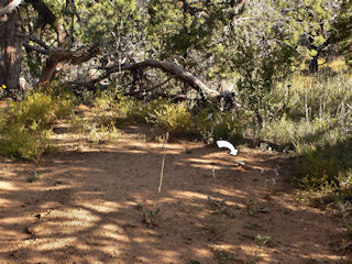
Our loop on the Far View Trail took us past half a dozen Ancestral Puebloan structures of varying types. Preservation attempts at Megalithic House have included a rather ugly, but still I suppose functional, roofed enclosure. Set into the clay soil near Megalithic House we spotted this unstamped NPS survey disk. A survey mark set directly into the soil is unusual, to say the least. I’m assuming it is set atop a steel rod deeply embedded in the ground to add some stability.


