NPS 6
Spatial/elevation data
| Coordinates | N 31.56756° W 111.05131° |
| Elevation | Unknown |
| Location | Arizona
Santa Cruz County Tubac Quad |
Mark description
| Type | Elevation Mark |
| Setting | Concrete Sidewalk |
| Monumented | Unknown by AZDOT |
Narrative and photographs
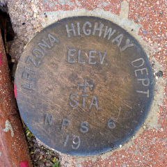
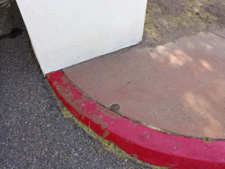
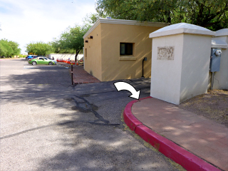
NPS 6 was a surprise find at Tumacacori National Monument. We were initially looking for B 432 (CG0875) that is supposedly near the parking area. We didn’t find B 432 (we are quite sure that it’s buried) but while we were looking, we spotted this NPS/AZ Highway Department disk set into the sidewalk along the eastern edge of the parking area. It is in good condition with legible stamping, although the year is not stamped on the disk.


