1232
Spatial/elevation data
| Coordinates | N 42.464716° W 75.059716° (estimate) |
| Elevation | 1231.48 ft. |
| Location | New York
Otsego County Oneonta Quad |
Mark description
| Type | Bench Mark Disk |
| Setting | Stone Pillar |
| Monumented | 1898 by USGS |
| Description (NGS) | NGS Datasheet |
Narrative and photographs
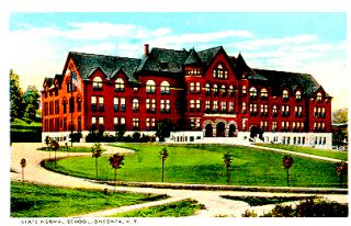
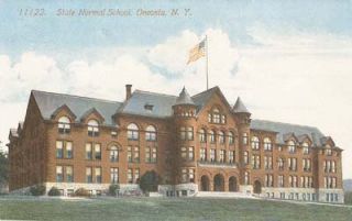
I was really excited at the possibility of finding another of the 1898 benchmarks, but unfortunately this one appears to be gone. There is no school building at the intersection of State and Maple Streets. Instead, there are the “Old Main” apartments. I haven’t had much luck in locating anything about the history of the normal school!


