MLW 7.15
Spatial/elevation data
| Coordinates | N 25.14066° W 80.92393° |
| Elevation | Unknown |
| Location | Florida
Monroe County Flamingo Quad |
Mark description
| Type | Survey Disk |
| Setting | Concrete Seawall |
| Monumented | Unknown by National Park Service |
Narrative and photographs
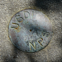
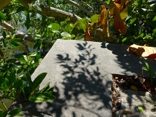
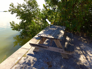
We had some time at Flamingo before our tour of the bay, so we investigated the seawall around the marina for benchmarks. We knew they were plentiful here because we found quite a few of them when we were here two years ago; but, believe it or not, I was feeling burned out on benchmarks at the time, so we only documented a few of them. This one is set into the corner of the seawall directly southeast of the southeast corner of Flamingo Visitors Center. At the time of our visit it was obscured by heavy sea grape cover, so while it was easy enough to find, it was harder to photograph. Like the other disks on the seawall, it’s a small USDI/NPS disk stamped with the mean low water elevation. It is in good condition.


