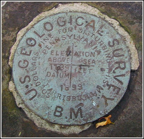
I was staying in Troy this weekend and decided to search for a few local benchmarks. This one seemed like a likely candidate. I started out very early in the morning and located the abandoned railroad bed with no trouble. But the only landmark mentioned was a stone foundation I couldn’t find; I knew better than to depend much on the coordinates; and the vegetation in the area was so thick (and sharp!) I didn’t think I had much of a chance of seeing or getting near the mark. I walked up the railroad bed for some time and, not finding anything of interest or even a likely starting point, turned around and headed back. It was then that through the thorns and branches I spotted what looked like a stone wall—and not at all far from the location given by the coordinates! Well, I just had to check it out, so I fought my way through and, once out on the foundation, saw the disk immediately. It’s in very good condition, and coordinates and altitude were good.