SPRINGER (LY2725)
SPRINGER
Spatial/elevation data
| Coordinates | N 41.364093° W 75.703232° |
| Elevation | 1005 ft. |
| Location | Pennsylvania
Lackawanna County Avoca Quad |
Mark description
| Type | Triangulation Station Disk |
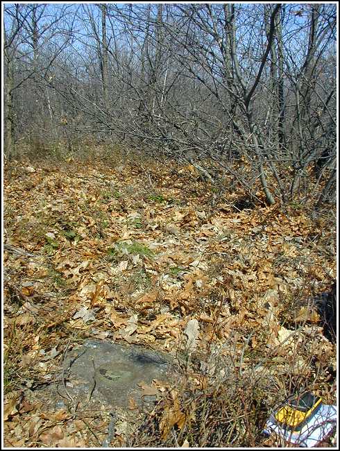
| Setting | Concrete Monument |
| Monumented | 1960 by NGS |
| Description (NGS) | NGS Datasheet |
Narrative and photographs
(Note Entered: 12 April 2003):
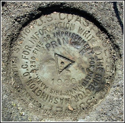
After a dreadfully long day at work (sunny and 60° – after the winter we’ve had – and nevertheless there were about 600 people spending the day in the library!), I needed to get out. Aaron showed up with a plan. We bought sandwiches and Doritos and sat at a picnic table at the South Abington park to eat a mostly peaceful meal (I narrowly avoided being hit in the head with a flying soccer ball at least twice). Then we went for a drive and on a whim decided to scout out the area around this benchmark. Finding ample parking and no real barriers to access, we headed into the brush. There was some heavy bushwhacking to be done, and we found a few trashy party spots, but we also found some neat trails. We fought our way to the coordinates and after a few minutes I spotted a bit of concrete poking out from under the leaves. The concrete monument held the station mark! Unfortunately we were unable to take a photo this time, and we chose not to search for the reference marks because it was growing dark. So I don’t consider this a true find. I’ll be back!
(Recovery of station and RM 1: 14 April 2003):
I came back on this sunny morning to take a photo of the station mark, and I ended up finding reference mark #1 as well.
| Designation | Status | Condition | Image |
|---|---|---|---|
| SPRINGER RM 1 | Recovered | Good |
|
| SPRINGER RM 2 | Note Entered | Unknown (Not Found) |

|