124 RJN USGS
Spatial/elevation data
| Coordinates | N 41.948056° W 75.604722° (estimate) |
| Elevation | 901.78 ft. |
| Location | Pennsylvania
Susquehanna County Susquehanna Quad |
Mark description
| Type | Bench Mark Disk |
| Setting | Bridge Abutment |
| Monumented | 1966 by USGS |
| Description (NGS) | NGS Datasheet |
Narrative and photographs
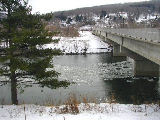
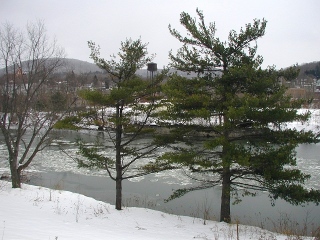
On this bitter cold day, Aaron and I drove to Susquehanna thinking this would be an easy find. Hmmm, the bridge looks pretty new, we thought. But had it been built since 1982? The description didn’t seem to match the situation before us, but we looked around anyway. I climbed the ice and snow covered hill alongside the bridge to get a good look at it from several angles, but found nothing. We gave up and took a very cold walk across the bridge; I have to admit that the ice flowing down the river did look pretty. On Monday I contacted the Susquehanna Branch library, and the librarian informed me that the bridge had been built within the past five years. So, it looks as though this benchmark might be gone for good.


