D 56
Spatial/elevation data
| Coordinates | N 41.467716° W 75.604566° (estimate) |
| Elevation | 772.42 ft. |
| Location | Pennsylvania
Lackawanna County Olyphant Quad |
Mark description
| Type | Bench Mark Disk |
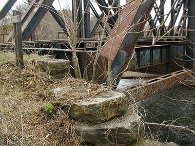
| Setting | Bridge Wingwall |
| Monumented | 1934 by NGS |
| Description (NGS) | NGS Datasheet |
Narrative and photographs
Zhanna has not yet searched for this mark.
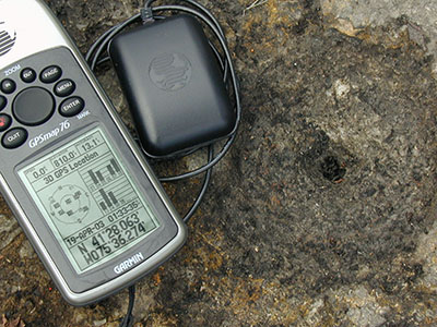
N 41° 28.063’ W 075° 36.274’
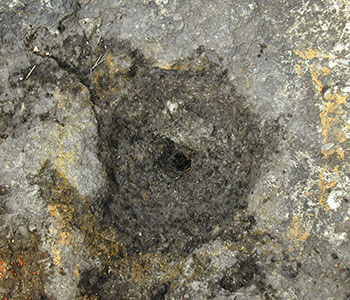
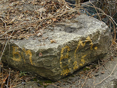
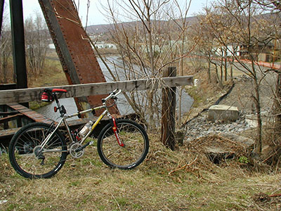
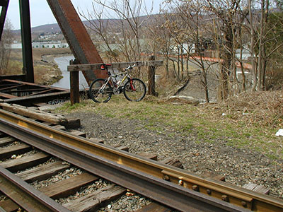
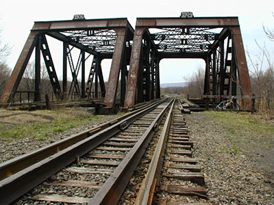
It appears that this vertical control station no longer exists. I found the drill hole in the top of the stone where a standard disk would have been. The historic description is confusing with regard to the cardinal compass directions at the site but, based on my experience with other old railroad benchmarks in the area, I feel confident that this is the correct location. The remnants of a painted yellow circle around the drill hole, as well as the initials “BM” on the sides of the stone add further credence. I hope to return and explore both sides of the river more thoroughly. At the apparent station mark my Garmin GPSmap76 receiver indicated 324.9 feet from the NGS datasheet coordinates. ~Rich in NEPA~
Edit Note: I’ve changed this report to “Not Found” as opposed to “Destroyed” since it seems to more closely follow the general consensus of the benchmarking hunting community regarding missing/destroyed markers. It’s been pointed out that this kind of station is still useable even if the mark is gone. ~Rich in NEPA~

