Z 235
Note Entered on May 18, 2006
Previous recovery (November
30, 2003)
Spatial/elevation data
| Coordinates | N 41.464533° W 75.126816° |
| Elevation | 834.11 ft. |
| Location | Pennsylvania
Pike County Hawley Quad |
Mark description
| Type | Bench Mark Disk |
| Setting | Bridge Wingwall |
| Monumented | 1959 by NGS |
| Description (NGS) | NGS Datasheet |
Narrative and photographs
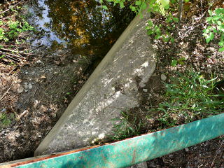
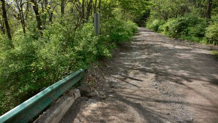
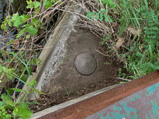
This morning Rich and I revisited this mark, curious how it could’ve been damaged or removed as indicated in the previous log on Geocaching.com. We were pleased to find that the mark is still intact on the northwest wingwall of the north abutment of the bridge over Decker Creek. There may have been a mixup with the opposite corner of the bridge (the southeast wingwall of the south abutment), where the concrete wingwall was indeed damaged.


