PINE
Spatial/elevation data
| Coordinates | N 41.34215° W 75.276983° |
| Elevation | 1725.59 ft. |
| Location | Pennsylvania
Pike County Newfoundland Quad |
Mark description
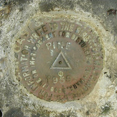
| Type | Triangulation Station Disk |
| Setting | Boulder |
| Monumented | 1959 by NGS |
| Description (NGS) | NGS Datasheet |
NGS recovery information
Descriptive text
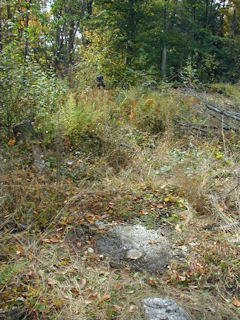
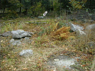
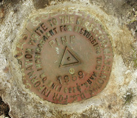
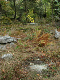
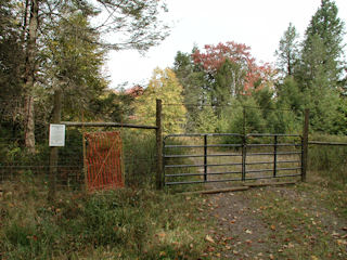
The station mark and reference marks 1 and 2 were recovered in good condition. The metal witness marker and blazed trees were not found. This station is located in the Pine Lake section of the Delaware State Forest. To reach the station from the intersection of State Route 507 and Beaver Dam Road north of Greentown, follow Beaver Dam Rd. southeast for 1.55 mi to a gated woods road on the left (the Beaver Dam Trailhead, trail marker no. 120). Follow this trail northeasterly for 0.5 mi then easterly for 0.3 mi, then bushwhack approximately 500 feet directly to the mark atop a low hill.Narrative and photographs
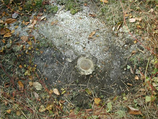
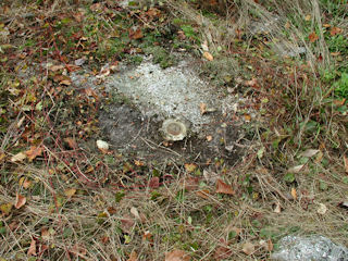
I’ve been excited about today’s hike for quite a while. These tri-station hunts are always my favorites! The search for PINE would take us to a section of the Delaware State Forest just northwest of Promised Land State Park, and fittingly very close to Pine Lake (which I assume is the station’s namesake). We began by hiking northeasterly along a trail that we had identified from aerial imagery and that looked like it would take us close to the mark. We passed some deer exclosures and the trail turned right toward the east, and headed straight for the small hill on which PINE sits. We found the station mark easily, and used the description to lead us to the reference marks; we had a slightly harder time finding RM 2, which was covered by a thick mat of moss that we had to roll back from the surface of the boulder. All marks were in good condition and were as described, except the blazed trees and witness sign were not found.
Station recovered in good condition.
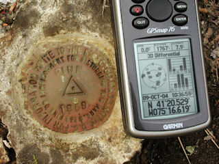
This second order triangulation station is located in the Pine Lake section of the Delaware State Forest, roughly 2.0 airline miles northeast of Greentown. A gated woods road (Beaver Dam trailhead, marker #120) begins at Beaver Dam Road (T-389), directly across from benchmark ly1182. The trail leads northeasterly (about 0.5 miles) through a DCNR “deer exclosure” and then easterly (about 0.3 miles) into another “deer exclosure” where, after a short bushwhack southeasterly (about 0.1 miles), the station can be reached atop a low hill. The station mark and two reference marks were found as described. At the station a Garmin GPSmap76 receiver with active remote antenna was used to record WAAS-corrected coordinates which were identical (within 0.001 minutes) to the adjusted coordinates listed on the NGS datasheet. The station mark and both reference marks are well exposed and in good condition, and the stamped designations are legible.
~Rich in NEPA~
| Designation | Status | Condition | Image |
|---|---|---|---|
| PINE RM 1 | Recovered | Good |
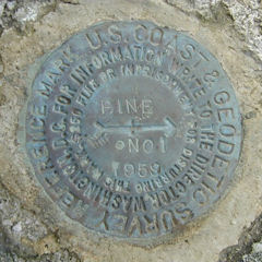
|
| PINE RM 2 | Recovered | Good |
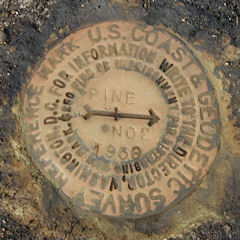
|
