T 234
Spatial/elevation data
| Coordinates | N 41.33265° W 75.20415° |
| Elevation | 1809.06 ft. |
| Location | Pennsylvania
Pike County Promised Land Quad |
Mark description
| Type | Bench Mark Disk |
| Setting | Boulder |
| Monumented | 1959 by NGS |
| Description (NGS) | NGS Datasheet |
NGS recovery information
Descriptive text
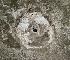
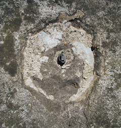
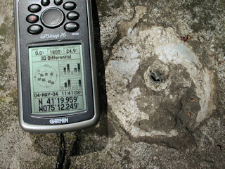
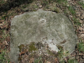
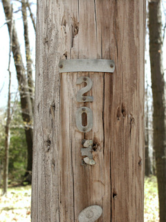
Recovered in poor condition. Only the shank remains. The outcropping boulder was found as described. The stone culvert, telephone pole number 203, and trailer park still exist, and all distances and directions agree with the 1959 measurements. Handheld GPS WAAS-corrected coordinates for the station are 41 19 57.54(N) 075 12 14.94(W).Narrative and photographs
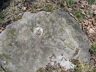
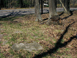
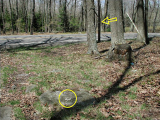
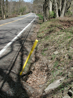
We found only the shank of a mark in a boulder just east of Route 390, along a dim trail heading east from the highway. We located every reference object noted in the description, and measured the distances and directions from these objects to the station. Our numbers matched the 1959 description, and we concluded we’d found the correct mark (or what remains of it). NGS subsequently determined that our evidence was enough to prove positive identification of the disk. It’s listed in Poor condition and may still be useful in certain situations.
N 41° 19.959 W 075° 12.249
Station recovered in poor condition.
A site closely matching the historical description for this second order vertical control station was located along the east side of Rt. 390, and a low outcropping rock was found with a drill hole in it containing only the brass stem from a benchmark disk. All of the reference items exist as described, and the distances and bearings provided on the datasheet match up fairly well. A dim grassy double-track trail leads easterly from the highway and passes directly over the rock. There is a trailer park off Oak Road about 150 yards south of the site. The drill hole is roughly 40 feet southeast of BTCo utility pole #203, 48 feet east of the centerline of the highway, and 70 feet south-southeast of the east end of a stone culvert under the highway. At the suspected site a Garmin GPSmap76 receiver with remote active antenna was used to record WAAS-corrected coordinates which were 91.3 feet from the scaled coordinates listed in the NGS datasheet.
~Rich in NEPA~
Note: Zhanna is submitting an official recovery report to NGS. I am logging this station as “Not Found” pending official determination by NGS. If the agency should declare the station as being in poor condition or destroyed based on our evidence, I will edit the status of this log to “Found” to indicate positive identification.
Edit Note: NGS has declared the station to be in poor condition. Therefore, I can now change this log from “Not Found” to “Found” since NGS considers the evidence provided is sufficient to prove that the station was positively identified. (See updated datasheet: LY1166)
