WRIGHTSVILLE RESET
Spatial/elevation data
| Coordinates | N 40.024992° W 76.529383° |
| Elevation | 302.7 ft. |
| Location | Pennsylvania
York County Columbia West Quad |
Mark description
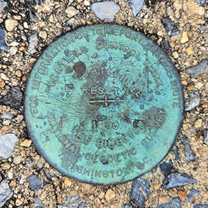
| Type | Vertical Control Disk |
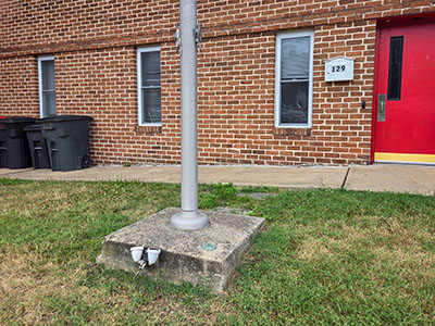
| Setting | Flagpole Base |
| Monumented | 1980 by NGS |
| Description (NGS) | NGS Datasheet |
NGS recovery information
Descriptive text
Recovered in good condition.Narrative and photographs
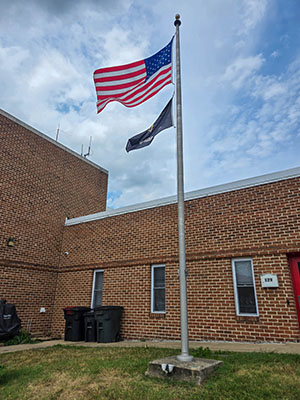
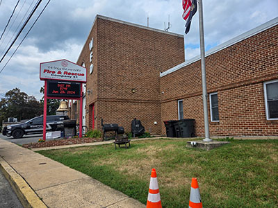
I didn’t realize, at first, just how close the Wrightsville fire department was to the western end of the Veterans’ Memorial Bridge. But after we returned from our walk along the bridge to recover COLUMBIA W BASE, I noticed that WRIGHTSVILLE RESET was only about 300 feet away from us. We walked up the hill, turned left, and within a minute spotted the benchmark disk set into the concrete base of the flagpole. The disk is in very good condition. The original WRIGHTSVILLE disk was set on the original city hall and fire department building, which was demolished in 1979. This new fire department building was erected in the same year, and WRIGHTSVILLE RESET was set the following year. After recovering this mark, we walked down Chestnut Street to Front Street, where we turned north to circle back to our car parked beneath the bridge.


