COLUMBIA W BASE
Spatial/elevation data
| Coordinates | N 40.02679° W 76.523453° |
| Elevation | 288.38 ft. |
| Location | Pennsylvania
Lancaster County Columbia West Quad |
Mark description
| Type | Triangulation Station Disk |
| Setting | Bridge Floor |
| Monumented | 1950 by NGS |
| Description (NGS) | NGS Datasheet |
NGS recovery information
Descriptive text
Recovered in good condition.Narrative and photographs
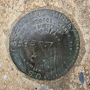
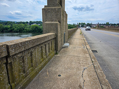
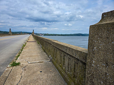
It sure was a hot and humid day today! We barely realized just how tropical it felt, of course, until we stepped out of the car, which we had parked on Front Street beneath the bridge. But in spite of the conditions, my father and I needed to stretch our legs, and the half-mile walk along the bridge and back sounded just about right. Of course, there was another reason for the walk: to search for the COLUMBIA W BASE triangulation station. At least there was a somewhat cooling breeze passing across the bridge from the mighty Susquehanna River beneath us.
Dad counted off the six river piers while I followed the GPS coordinates. It took a few minutes of brisk walking, but we soon spotted the disk. It is set right in the concrete walkway, so the disk is a but scuffed, but the designation is still legible and the disk is set solidly in the concrete.


