HUBER
Spatial/elevation data
| Coordinates | N 40.518136° W 76.483189° |
| Elevation | 549.63 ft. |
| Location | Pennsylvania
Lebanon County Pine Grove Quad |
Mark description
| Type | Triangulation Station Disk |
| Setting | Square Concrete Monument |
| Monumented | 1960 by NGS |
| Description (NGS) | NGS Datasheet |
NGS recovery information
Descriptive text
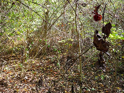
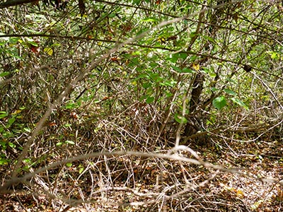
Station mark, reference mark 2, and azimuth mark were searched for but not found. Reference mark 1 was not searched for. Reference objects from the 2005 recovery were not positively identified. The area is heavily overgrown, and a metal detector and tools for clearing and digging will likely be necessary to locate and recover the marks.Narrative and photographs
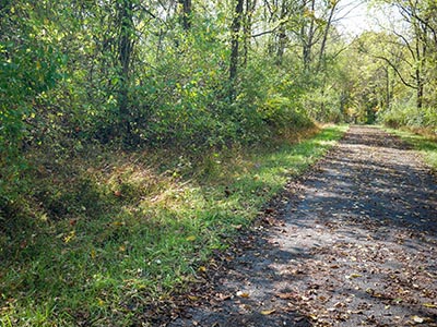
After two strikeouts at nearby benchmarks, I was really hoping to find at least one of the HUBER marks. I continued south on Swopes Valley Road from the bridge where I failed to find B 249 (KW0229) and parked at the Bear Hole Trailhead. The park was nearly deserted (surprisingly so, on this gorgeous morning) but there was one other vehicle in the lot, and as soon as I arrived a man got out and began to walk west along the Bear Hole Trail (which is actually an abandoned old road). He was the only person I saw in the park all day, which was great.
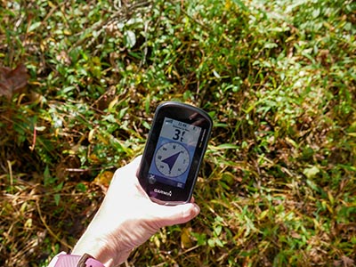
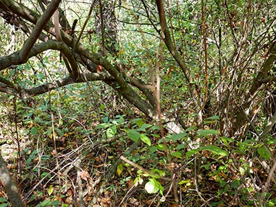
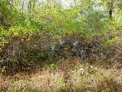
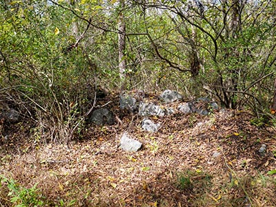
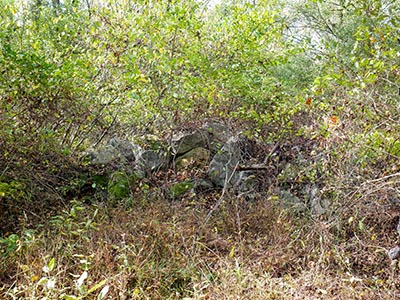
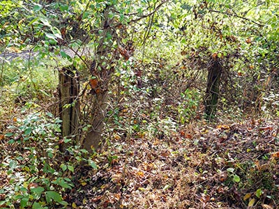
I noticed a number of old foundations, rock piles, and wooden fencelines along the way to the coordinates for HUBER: all evidence that this was once an active county road. As often happens with these old triangulation stations, my heart sank when I reached the coordinates. The area was densely overgrown with brush, thorny plants, tangled and fallen branches and small trees, even thick laurel. It was almost impossible to move around in the area, let alone get a decent satellite signal. I was supposedly within 0-3 feet of the coordinates several times, in several different spots several meters apart.
I spent quite a bit of time poking around, hoping that at least I would be able to locate the station mark, without any luck. I couldn’t identify any of the references mentioned in the most recent recovery note (granted, they were all trees, and the note is almost 20 years old). It’s possible that with a metal detector and careful sweeping of the area around the coordinates, we would be able to turn up the mark. It is very likely buried beneath a few inches of soil and vegetation at this point.
The reference marks were a similar story. I didn’t even attempt to look for RM 1, since the person who last recovered the station mark (19 years ago) couldn’t find it. I did search around for RM 2, but had no luck and again couldn’t identify any of the references from the 2005 recovery.
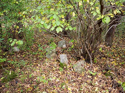
Then I took a walk further down the trail, hoping for (but not expecting) better luck at the site of the azimuth mark. I may have spotted the “short stone fenceline” referred to in the description, but without anything else to go on and only roughly-estimated coordinates, I wouldn’t have known where to dig even if I had proper tools with me. This area, while easier to walk around in than the area near the station, is still overgrown and covered with decades worth of soil and leaves.
I think a metal detector and more time to dedicate to the search may well turn this one up at some point in the future! I would like to attempt another search.
| Designation | Status | Condition | Image |
|---|---|---|---|
| HUBER AZ MK | Not Found | Unknown (Not Found) |

|
| HUBER RM 1 | Note Entered | Unknown (Not Found) |

|
| HUBER RM 2 | Not Found | Unknown (Not Found) |

|

