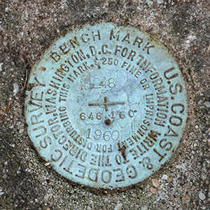
X 248
Spatial/elevation data
| Coordinates | N 40.52637° W 76.489355° |
| Elevation | 645.50 ft. |
| Location | Pennsylvania
Schuylkill County Pine Grove Quad |
Mark description
| Type | Bench Mark Disk |
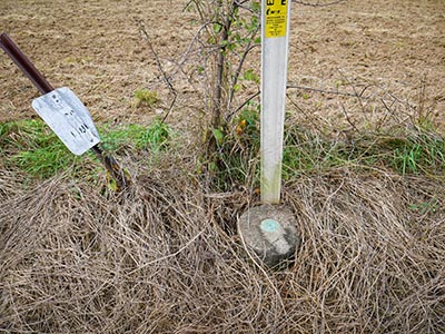
| Setting | Round Concrete Monument |
| Monumented | 1960 by NGS |
| Description (NGS) | NGS Datasheet |
NGS recovery information
Descriptive text
Recovered in good condition.Narrative and photographs
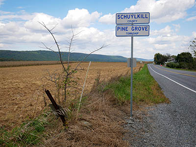
The third and final find for today in the Pine Grove area was X 248, a mark I’d been interested in since I noticed it last week and saw that it was on the county line between Schuylkill and Lebanon Counties.
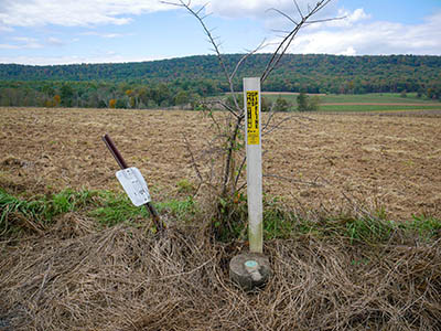
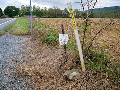
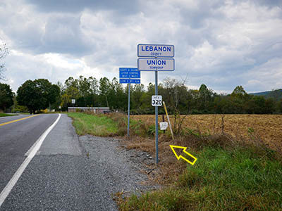
There is a large gravel pulloff conveniently located just across Route 443 from the mark, so I parked there and crossed the road to make the recovery. The round concrete monument is easily visible from a distance (I had even seen it on Google Street View) and the disk set on top is in very good condition, as is the monument itself. This is a pretty, peaceful area at the edge of a large field bordered by a mountain ridge, and despite occasional traffic flying by, I enjoyed my time here.
Interestingly, although according to the modern signs on site, the mark is clearly in Lebanon County, the NGS datasheet lists it in Schuylkill County, so I’ve done so here as well. I may contact NGS to see whether the county can be changed. I think I may have done something similar in the past. (There is what appears to be an old, faded county line sign also on site that, if it’s placed correctly, would indicate that the mark is in Schuylkill County. I wonder if this is where the initial data came from.)
