RV 129 RDGRR
Spatial/elevation data
| Coordinates | N 40.527288° W 76.465143° (estimate) |
| Elevation | 487.29 ft. |
| Location | Pennsylvania
Schuylkill County Pine Grove Quad |
Mark description
| Type | Rivet |
| Setting | Bridge Parapet Wall |
| Monumented | Unknown by Reading Railroad |
| Description (NGS) | NGS Datasheet |
NGS recovery information
Descriptive text
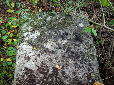
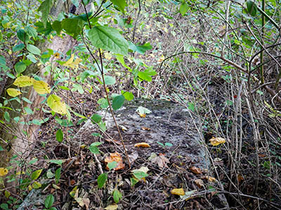
The top of the bridge coping was cleared of vegetation and debris, but no rivet was found.Narrative and photographs
This rivet was the first mark I attempted on this beautiful Monday morning. I had somewhat high hopes for it; although the most recent note by PennDOT was a “not found,” they mentioned that they suspected the mark had been destroyed by bridge rehabilitation construction. This didn’t seem likely, given the location of the bridge, so I thought maybe they had logged the wrong mark (nearby D 249 [KW0228] being a likely candidate).
When I arrived on site, I felt even more confident that I would find the rivet. It didn’t look like this bridge had been “rehabilitated” in many decades, if ever, and certainly not since 2006 when the rivet was last found.
But when I fought my way through the overgrowth and cleared off the top of the bridge wall, I was surprised to find … no rivet. I cleared off the entire easternmost “block” of the top of the wall, because the description doesn’t state how far from the end the rivet was set, just that it was on the east end of the north coping. Nothing was to be found. I even returned to this site after my hike on the Bear Hole Trail at Swatara State Park, just in case I had missed something. No luck.
So I’m not sure what to say about this one! Would I love to clear off the entire bridge wall and run a metal detector over the surface? Of course! But that will have to wait until I’m down this way again and have significant time to spend on the project. Still, I would love to solve this little mystery!


