B 46
Spatial/elevation data
| Coordinates | N 40.528917° W 76.447167° (estimate) |
| Elevation | 491.29 ft. |
| Location | Pennsylvania
Schuylkill County Pine Grove Quad |
Mark description
| Type | Bench Mark Disk |
| Setting | Concrete Post |
| Monumented | 1934 by NGS |
| Description (NGS) | NGS Datasheet |
NGS recovery information
Descriptive text
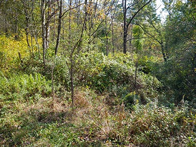
Mark not found. It is likely still in place, but the area is heavily overgrown and will require tools and effort to uncover the mark. The area is publicly accessible as part of the Swatara Rail Trail.Narrative and photographs
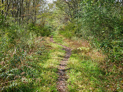
After my first find of the day, the rivet along the rail trail just east of Lehr Lane, I turned around and headed west on the rail trail. The trail was peaceful and quiet, and I saw several pileated woodpeckers along the half-mile hike toward the site of B 46. I did not, however, find the benchmark.
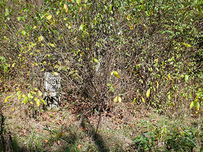
Similar to the HUBER series of marks in Swatara State Park, this one was in a densely overgrown area, and the recovery notes from the datasheet gave me very little to go on. I do think, however, that with a measuring tape and a digging tool (and possibly a metal detector), I would have been able to locate this mark. A recovery note from 2006 described THREE POLES BLOCKING VEHICLES FROM THE RAILBED and gives distance and direction from one of the poles. While the poles certainly weren’t obvious among all the vegetation, I was eventually able to find them. With the proper tools I probably could have used this data to pinpoint the mark. But as it was, my pacing-off of the distance and digging around in the brush and soil with my foot wasn’t helping much.
I suspect this mark is still in place, and it will just take some work to uncover it. If I do, I plan to place some kind of witness post here so it can be more easily found in the future.


