SWITCHBACK CHIM MT JEFFERSON
Spatial/elevation data
| Coordinates | N 40.82555° W 75.857333° |
| Elevation | Unknown |
| Location | Pennsylvania
Carbon County Nesquehoning Quad |
Mark description
| Type | Landmark/Intersection Station |
| Setting | Chimney |
| Monumented | 1885 by NGS |
| Description (NGS) | NGS Datasheet |
NGS recovery information
Descriptive text
Recovered in destroyed condition.Narrative and photographs
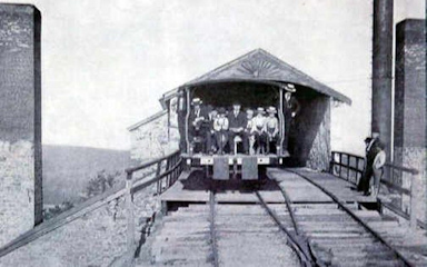
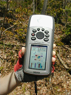
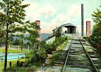
While enjoying a day of mountain biking on the Switchback Trail, Rich and I took a short detour from Summit Hill to search the area near the coordinates for any sign of the old chimney. We found a depression in the ground at the coordinates, and some bricks strewn around in the woods (but no evidence that the bricks came from the old chimney). Our NGS contact confirms that we positively identified the former location of the station.
Photographs and a report on the condition of this station were submitted to NGS, which subsequently marked this station officially Destroyed.


