B 48
Spatial/elevation data
| Coordinates | N 40.8834° W 75.761483° (estimate) |
| Elevation | 590.11 ft. |
| Location | Pennsylvania
Carbon County Weatherly Quad |
Mark description
| Type | Bench Mark Disk |
| Setting | Bridge Wingwall |
| Monumented | 1934 by NGS |
| Description (NGS) | NGS Datasheet |
Narrative and photographs
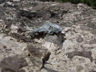
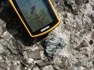
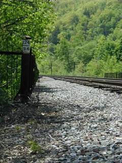
I was really hoping to round out Death Hike day with a nice benchmark find with Ken “Mathketeer” Monks, but it wasn’t to be. Although I believe I did find the location where this disk once was, and the stem it had been attached to, there is still the slightest doubt in my mind so I’m logging it as Not Found. We found a bolt-like metal object protruding from the top of what would be considered the southwest wingwall, since the railroad runs primarily north-south. It had obviously been damaged (and the wingwall has suffered a good deal of erosion as well), and there was no disk attached to it. At the site my GPS indicated just under 37 feet from the posted coordinates.


