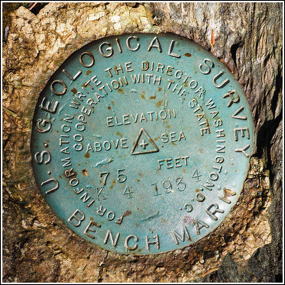
K 4
K 4
Recovered in Good Condition on September 18, 2026
Spatial/elevation data
| Coordinates | N 44.451664° W 68.425448° |
| Elevation | 74.605 ft. |
| Location | Maine
Hancock County Newbury Neck Quad |
Mark description
| Type | Bench Mark Disk |
| Setting | Boulder |
| Monumented | 1934 by USGS |
| Description (USGS) | At the jct. of state route 230, and the NW end of Cross Road; 140 ft SE centerline of Y-rd jct.; 39.6 ft east of and about 4 ft higher than centerline of road; 8 ft NE centerline 6 inch cedar tree with witness sign attached; standard tablet set in top of an 8X10 ft boulder proj. 4 ft; stamped “K 4 1934” |
Narrative and photographs