LINDENSTRUTH
Spatial/elevation data
| Coordinates | N 38.324616° W 75.08655° |
| Elevation | 6.2 ft. |
| Location | Maryland
Worcester County Ocean City Quad |
Mark description
| Type | Triangulation Station Disk |
| Setting | Concrete Seawall |
| Monumented | 1958 by U. S. Engineers |
| Description (NGS) | NGS Datasheet |
Narrative and photographs
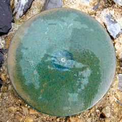
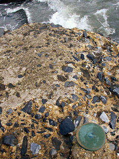
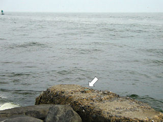
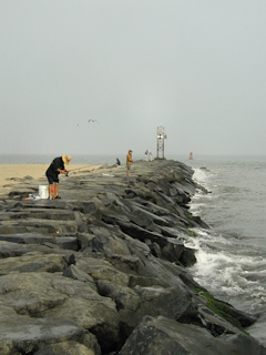
This survey disk was found as described in the east end of the seawall at the southmost point of Ocean City. The mark was located easily using the historic description. The disk is worn almost smooth and most of the stamping has been obliterated. Only the triangulation disk symbol and the letters “LI” can be distinguished. The southeast corner of the seawall is eroding and may not provide a solid setting for the disk for much longer. The disk is in fair to poor condition.
