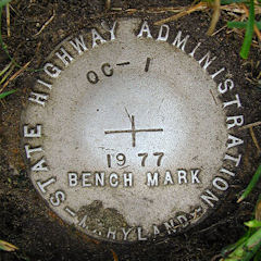
OC 1
Spatial/elevation data
| Coordinates | N 38.35325° W 75.076316° |
| Elevation | 5.99 ft. |
| Location | Maryland
Worcester County Ocean City Quad |
Mark description
| Type | Bench Mark Disk |
| Setting | Round Concrete Monument |
| Monumented | 1977 by MDDOT |
| Description (NGS) | NGS Datasheet |
Narrative and photographs
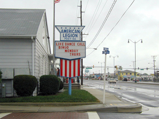
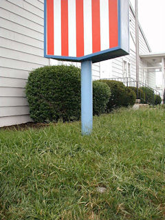
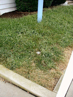
This survey disk was found as described approximately 11 feet northwest of the northwest corner of American Legion Post 166 in Ocean City. The mark was reached easily using the historic description, and no changes are necessary. Note that south of 32nd Street, Route 528 is known as Philadelphia Avenue. At the mark, I recorded coordinates that are approximately 53 feet from the scaled coordinates given on the datasheet. The disk is flush with the surface of the ground and appears to be in very good condition with all stamping clearly legible.


