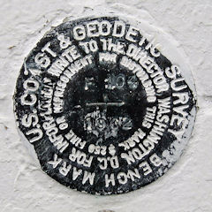
F 104
Spatial/elevation data
| Coordinates | N 38.330066° W 75.087816° |
| Elevation | 5.67 ft. |
| Location | Maryland
Worcester County Ocean City Quad |
Mark description
| Type | Tidal Bench Mark Disk |
| Setting | Brick Wall |
| Monumented | 1962 by NGS |
| Description (NGS) | NGS Datasheet |
Narrative and photographs
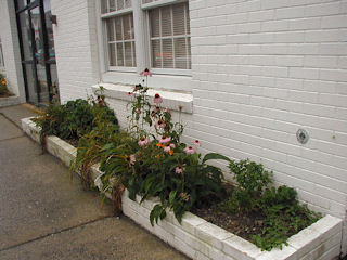
I went downtown to escape the floodwaters on this wildly stormy day … but they followed me. This benchmark disk was located just southeast of the north corner of 109 Dorchester Street, which now houses the Ocean City Beach Patrol Headquarters. The mark was reached easily using the historic description, and no changes are necessary. At the mark, I recorded coordinates that are approximately 270 feet from the scaled coordinates given on the datasheet. The disk is set vertically on the northeast wall of the structure and appears to be in good condition with all stamping legible.

