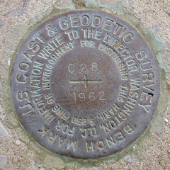
C 28
Spatial/elevation data
| Coordinates | N 38.541166° W 75.059833° |
| Elevation | 4.26 ft. |
| Location | Delaware
Sussex County Bethany Beach Quad |
Mark description
| Type | Bench Mark Disk |
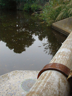
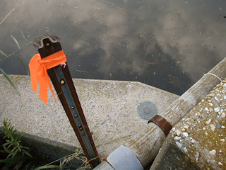
| Setting | Bridge Wingwall |
| Monumented | 1962 by NGS |
| Description (NGS) | NGS Datasheet |
Narrative and photographs
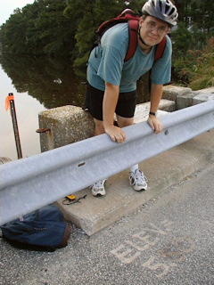
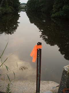
While on an evening ride around town, we located this benchmark disk easily using the historic description. The spot was marked with both a stake wrapped in orange flagging tape and “ELEV. = 5.50’” painted on the highway shoulder. State Highway 14 is now State Highway 1, and the canal referred to is the Bethany Beach Loop Canal. The disk is in good condition with legible stamping.
