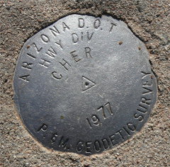
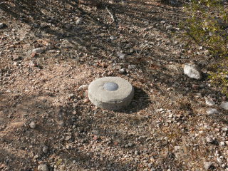
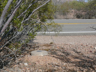
CHER
Spatial/elevation data
| Coordinates | N 32.030966° W 112.799216° |
| Elevation | 1748 ft. |
| Location | Arizona
Pima County Tillotson Peak Quad |
Mark description
| Type | Survey Mark |
| Setting | Round Concrete Monument |
| Monumented | 1977 by AZDOT |
| Description (NGS) | NGS Datasheet |
Narrative and photographs
This was one of the first marks I had planned for our trip. I just loved the designation—CHER—coupled with the year, 1977. Of course, I realize that this was most likely named for nearby Cherioni Wash and not for the singer, but it was still a cool coincidence and an amusing indulgence for this child of the 70s. We found it easily on our way into Organ Pipe National Monument for an evening scout along Ajo Mountain Drive. The disks are all close to the road and were easy to find, and they are all in very good condition.
I did not report this station to NGS at this time. The condition of the mark has not changed since the previous report from November 2006.
| Designation | Status | Condition | Image |
|---|---|---|---|
| CHER RM 1 | Recovered | Good |
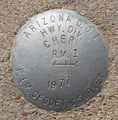
|
| CHER RM 2 | Recovered | Good |
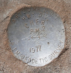
|
