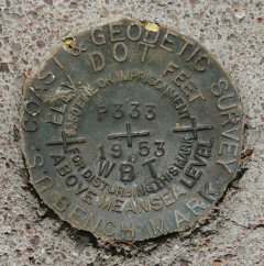
P 333
Spatial/elevation data
| Coordinates | N 32.166016° W 112.76355° |
| Elevation | 1825 ft. |
| Location | Arizona
Pima County Armenta Well Quad |
Mark description
| Type | Bench Mark Disk |
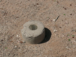
| Setting | Round Concrete Monument |
| Monumented | 1953 by NGS |
| Description (NGS) | NGS Datasheet |
NGS recovery information
Descriptive text
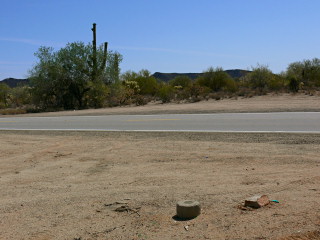
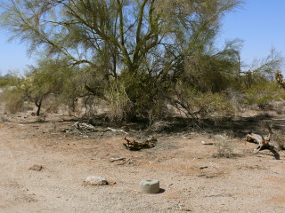
Recovered in good condition. The witness post no longer exists. Handheld GPS WAAS-corrected coordinates are 32 09 57.7(N) 112 45 48.8(W).Narrative and photographs
We were on our way from Ajo to Organ Pipe National Monument (and ultimately into Mexico) this morning when we happened to spot what looked like a round concrete monument alongside the highway. We stopped at a convenient pulloff to check it out, and we were in luck—there was indeed a benchmark disk set in the top of the monument! It is part of the 333 line that follows this highway. The disk and monument are in good condition.


